Mount Ozzard Hike on Vancouver Island: Our Experience
The Mount Ozzard hike on Vancouver Island was one of the hikes we did during our trip in June. The weather was perfect, the sky was clear, and we were looking forward to exploring another part of the island on foot.
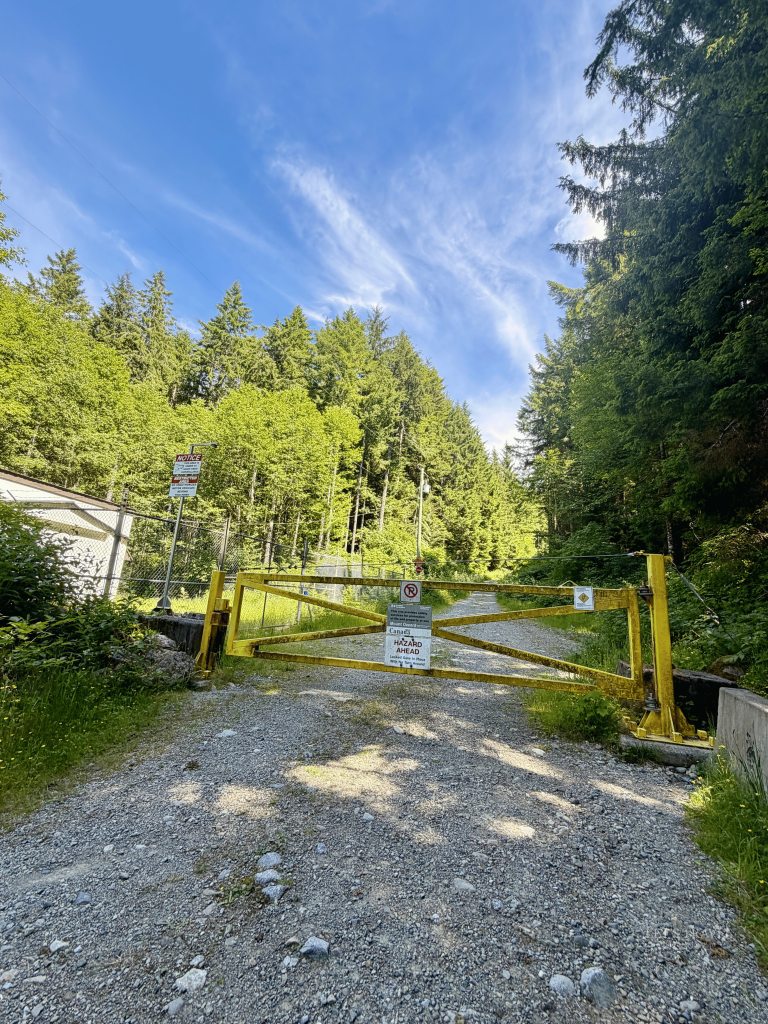
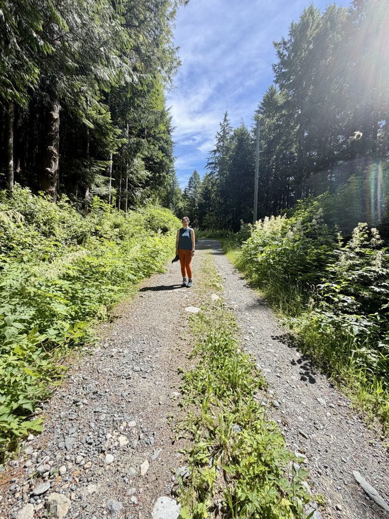
What we didn’t expect was how much effort it would take just to get to the trailhead. The access road became so rocky that we decided to leave our car behind, and once we started walking, we struggled to find the actual beginning of the trail.
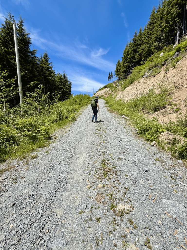
The climb itself turned out to be just as challenging as the approach. It was steep, the sun was beating down on us, and there was very little shade to escape the heat.
Still, the views from the top made the effort worthwhile. If you’re considering the Mount Ozzard hike near Ucluelet and Tofino, here’s what our experience was really like and what we’d recommend knowing before you go.
Where Is Mount Ozzard on Vancouver Island?
Mount Ozzard is located near Ucluelet on the west coast of Vancouver Island in British Columbia, Canada. It’s a good option if you’re exploring the Pacific Rim area and want to spend some time hiking away from the coast.
The mountain overlooks the surrounding landscape, with views across the water and towards the coastline. On a clear day, you can even see in the direction of Tofino.
Unlike some of the coastal trails in the area, the Mount Ozzard hike is primarily about gaining elevation and reaching a viewpoint above the surrounding landscape. It’s worth keeping that in mind when deciding which hikes to include in your Vancouver Island itinerary.
Trail Overview: Mount Ozzard Hike
| Location | Near Ucluelet, Vancouver Island, British Columbia, Canada |
| Hike Type | Out-and-back |
| Difficulty | Moderate – Challenging due to the climb |
| Duration | Approximately 2.5–3 hours, including breaks |
| Best Time To Visit | Late spring to early fall, depending on trail and road conditions |
| Out visit | June |
| Trail conditions | Steep uphill sections with limited shade and loose gravel, the trail is in good condition |
| Access | Rough, rocky access road; assess road conditions before driving to the trailhead |
| Wildlife | Plenty of bear scat and several rustling sounds in the bushes during our hike |
| What to bring | Plenty of water, sun protection, suitable hiking shoes, an offline map and bear spray where permitted |
OUR EXPERIENCE
The climb was steep and exposed to the sun, and we had trouble finding the trailhead. The rocky access road also made us leave our car before reaching the trail. The views from the summit were the highlight of the hike.
Getting to the Mount Ozzard Trailhead: The First Challenge
We quickly realised that getting to Mount Ozzard would be part of the adventure.
The access road starts off manageable, but the final section became extremely rocky. The stones were large enough that we started worrying about damaging our car tyres. Rather than risk getting stuck or ending up with a flat tyre in the middle of nowhere, we decided to leave the car where we felt comfortable and continue on foot.
Looking back, we were glad we didn’t take the risk.
It did, however, mean adding some extra walking before we had even reached the actual hiking trail.
And that wasn’t the end of our problems.
Finding the Start of the Hike
Once we were on foot, we had trouble figuring out where the hike actually started. We weren’t immediately able to identify the right trail, which made the beginning more frustrating than expected.
When you’re planning a hike, it’s easy to focus on the distance, elevation gain and estimated walking time. But access and navigation can make a real difference, especially when the trailhead isn’t obvious.
Our advice is to check the route carefully before setting off and download an offline map. Don’t assume you’ll find a clearly marked trail entrance as soon as you reach the access road.
We eventually found our way and could finally start the climb.
Hiking Mount Ozzard in June: A Steep Climb in Full Sun
June gave us beautiful weather on Vancouver Island. We had blue skies and plenty of sunshine, which was great for enjoying the scenery but made this particular hike harder than we had anticipated.
The ascent felt relentless. We were walking uphill for most of the way, and the sun was beating down on us without much protection from the heat.
There was very little shade along the exposed sections, so we couldn’t simply step into the forest whenever we needed a break from the sun.
The combination of the steep climb and the heat made the hike physically demanding. We had to take our time and pay attention to how we were feeling rather than rush towards the summit.
The trail itself also wasn’t the kind of hike where every turn brings a completely different landscape. Much of the effort goes into making your way uphill, so if you’re looking for a varied forest trail with constant viewpoints along the way, this might not be what you expect.
For us, the main motivation was reaching the top and seeing what the views would be like.
Bear Signs Along the Trail
One thing we definitely didn’t expect was just how much bear scat we would find along the Mount Ozzard trail. It wasn’t just one or two spots. We came across bear droppings throughout the hike, which made us increasingly aware that we were walking through bear country.
Several times, we also heard rustling in the bushes nearby. We couldn’t see what was causing the noise, so we stayed alert and made plenty of noise ourselves as we continued along the trail. The last thing we wanted was to accidentally surprise a bear at close range.
We never actually saw a bear during the hike, but between the amount of bear scat and the repeated sounds coming from the bushes, we certainly didn’t forget that we were sharing the forest with wildlife.
If you’re planning to hike Mount Ozzard, it’s worth being prepared for that possibility. Learn how to respond to a bear encounter before setting off, carry bear spray where permitted and know how to use it. Making noise can help alert wildlife to your presence, but it doesn’t eliminate the risk of an encounter.
For us, it was another reminder that hiking on Vancouver Island means being a guest in a place where wildlife lives. Beautiful scenery aside, it’s important to stay aware of your surroundings and give animals the space they need.
The View from the Top of Mount Ozzard
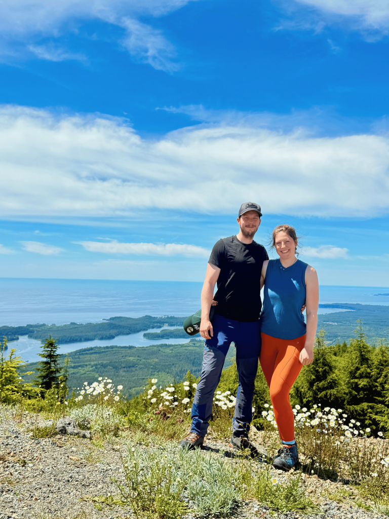
After the steep climb, we finally reached the top.
And this was the part of the hike we had been looking forward to.
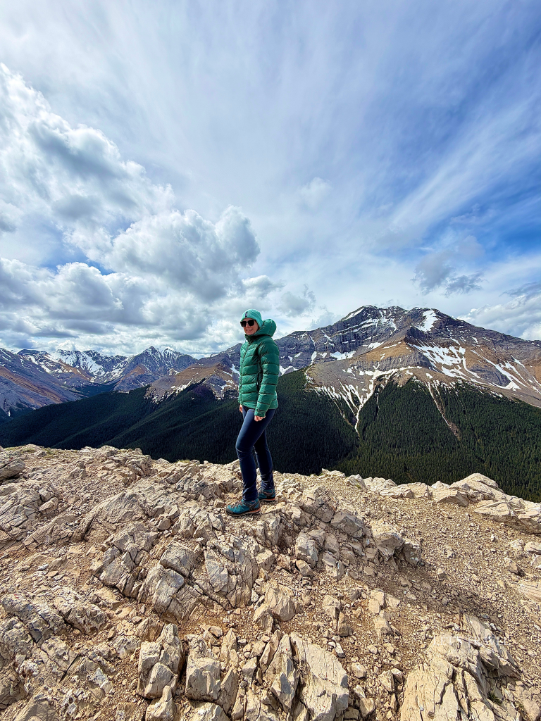
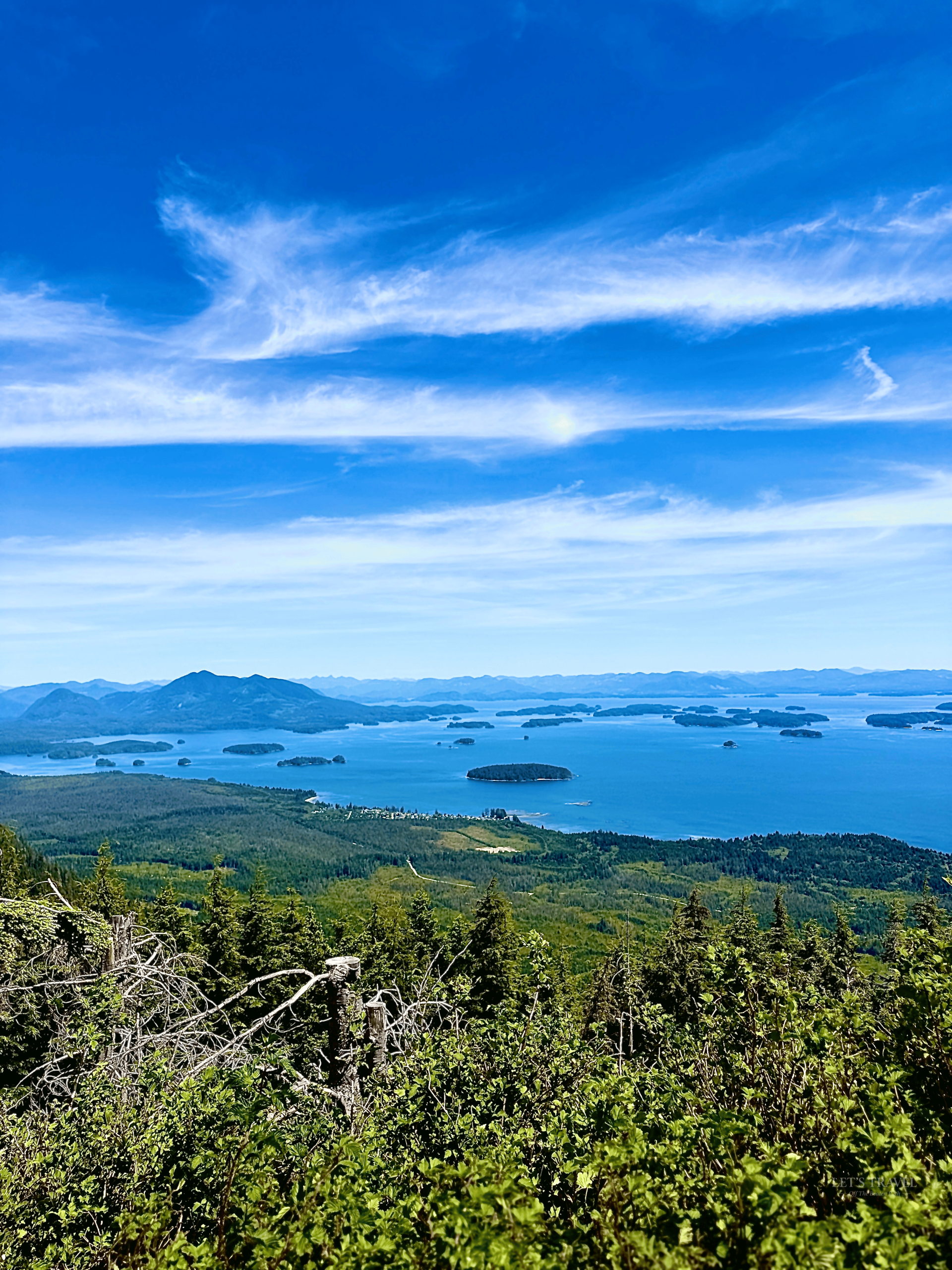
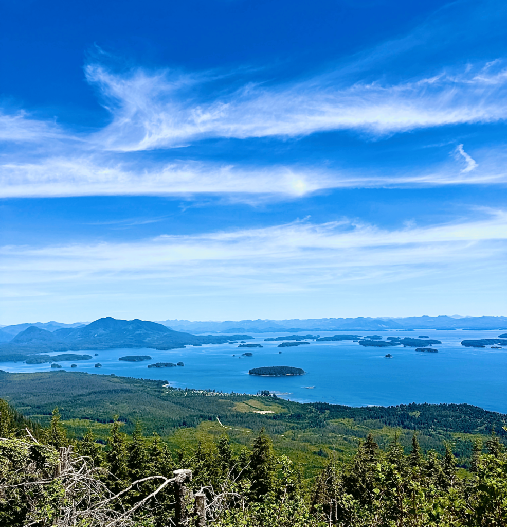
From the summit, the landscape opened up, with views across the surrounding waterways, islands and coastline. On a clear day, Mount Ozzard offers a wide panorama of the area around Ucluelet and towards Tofino.
Having blue skies during our visit meant we could really appreciate the views. After spending so much time climbing in the sun, it felt good to finally reach the viewpoint and take a moment to look around.
For us, the summit was the highlight of the hike. The ascent wasn’t particularly varied or spectacular in itself, but the view at the top gave us a reason to make the effort.
It was a good reminder that not every hike needs to be impressive from the first step to the last. Sometimes the reward comes at the end.
Want to see what the Mount Ozzard hike actually looks like? We also shared our experience on Instagram, including impressions from our adventure on Vancouver Island. Watch our Mount Ozzard hike on Instagram to get a closer look at the trail and the views along the way.
Is the Mount Ozzard Hike Worth It?
For us, the answer is yes, with a few reservations.
The view from the summit was lovely, and we enjoyed getting out into the landscape around Ucluelet. At the same time, this wasn’t an easy or particularly relaxing hike.
The rocky access road, the difficulty finding the trailhead and the steep, sun-exposed climb made the experience more demanding than we had expected.
I’d be more inclined to recommend Mount Ozzard to people who enjoy a physical challenge and don’t mind putting in some effort for a viewpoint. If you’re mainly looking for an easy walk through the forest or along the coast, there are other trails around Ucluelet that may be a better fit.
For us, the summit views made the climb worthwhile, but the journey there was definitely part of the challenge.
Our Tips for Hiking Mount Ozzard
If you’re planning to hike Mount Ozzard on Vancouver Island, there are a few things we’d keep in mind.
1. Check the access road before driving up.
The final section was extremely rocky when we visited. Assess the conditions and your vehicle’s clearance carefully. Don’t feel obliged to drive all the way to the trailhead if the road doesn’t feel safe for your car.
2. Download an offline map.
We had trouble finding the start of the hike. Having an offline map ready before you arrive can make navigation much easier, particularly where mobile reception is unreliable.
3. Bring enough water.
The steep ascent and direct sun made the hike tiring. Take more water than you think you’ll need and drink regularly throughout the climb.
4. Protect yourself from the sun.
A hat, sunscreen and suitable clothing are especially important on a clear summer day. There isn’t always enough shade to escape the sun during the exposed sections.
5. Be prepared for bear country.
Pay attention to your surroundings, follow local wildlife-safety guidance and carry bear spray where appropriate. Bear scat along our route was a reminder to stay alert.
6. Allow extra time.
Don’t base your entire plan on the estimated hiking time alone. Finding the trailhead and walking the additional distance from the point where we left our car added to the effort.
Hiking Mount Ozzard During a Vancouver Island Trip
Mount Ozzard was one of our outdoor experiences on Vancouver Island, where we combined hiking with exploring the island’s coastline and wildlife.
If you’re planning a trip to the west coast, the area around Ucluelet and Tofino has plenty to offer beyond mountain hikes. You can explore coastal trails, spend time on the beaches of the Pacific Rim area and look for responsible wildlife-watching opportunities.
We also spent time in Campbell River, further north on Vancouver Island, where we explored Elk Falls Provincial Park and the Canyon View Trail and went whale watching.
These experiences showed us just how varied Vancouver Island can be, from forest trails and waterfalls to rugged coastlines and wildlife encounters.
Mount Ozzard wasn’t the easiest hike we did, but it gave us a different perspective on the landscape around Ucluelet. And despite the difficult start and the exhausting climb, we’re glad we made it to the top.
If you’re planning a Vancouver Island road trip, you can also read our guide to Campbell River, where we share our experiences and tips for exploring this part of the island.
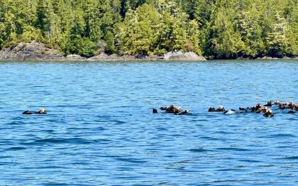
If you’re interested in seeing more of Vancouver Island’s wildlife, Tofino is also a great place to explore the marine life along the west coast. We recommend checking out our article about sea otters in Tofino, where we share more about these fascinating animals and the wildlife experiences you can have in the area.
Final Thoughts
The Mount Ozzard hike was a good reminder that beautiful weather doesn’t necessarily make a hike easy.
We had perfect conditions in June, but the steep ascent, strong sun and rocky access road made this a challenging day outdoors. Finding the trailhead took more effort than expected, and the climb itself was demanding.
Would we do it again? The views were worth the effort, but we’d go better prepared for the access road and the exposed uphill sections.
If you enjoy a challenging hike and want to see the landscape around Ucluelet from above, Mount Ozzard is worth considering. Just make sure you’re prepared for the climb as well as the journey to the trailhead.